
Weather
Weather alerts for Turner County
No active weather alerts for Turner County.
Current conditions
70°F
Mostly Clear
- Wind
- 5 mph
- Humidity
- 96%
- Dew point
- 69°F
Radar
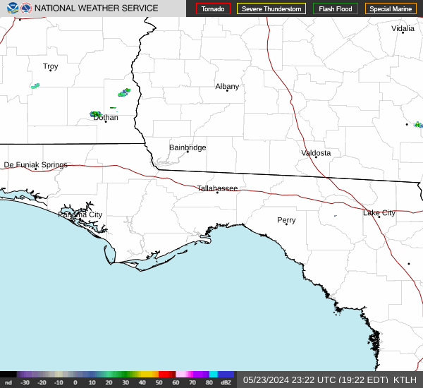
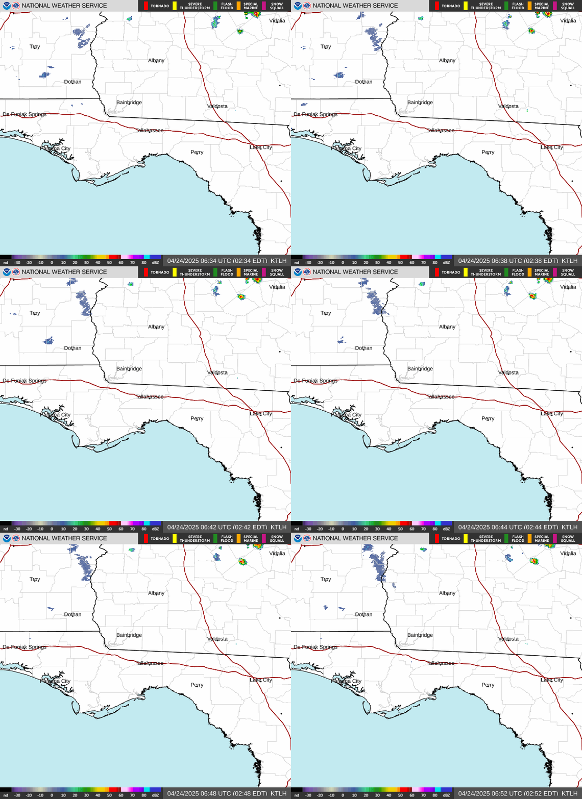
Next 12 hours in Ashburn
| Time | Temp | Forecast | Chance of rain | Wind |
|---|---|---|---|---|
| 12 AM | 69° | Mostly Cloudy | 4% | ESE 10 mph |
| 1 AM | 69° | Mostly Cloudy | 5% | ESE 10 mph |
| 2 AM | 68° | Mostly Cloudy | 4% | ESE 10 mph |
| 3 AM | 68° | Mostly Cloudy | 2% | ESE 10 mph |
| 4 AM | 68° | Patchy Fog | 3% | ESE 10 mph |
| 5 AM | 68° | Patchy Fog | 4% | ESE 10 mph |
| 6 AM | 68° | Patchy Fog | 5% | ESE 10 mph |
| 7 AM | 67° | Patchy Fog | 8% | ESE 10 mph |
| 8 AM | 69° | Patchy Fog | 8% | SE 10 mph |
| 9 AM | 72° | Mostly Cloudy | 9% | SE 10 mph |
| 10 AM | 75° | Mostly Cloudy | 13% | SSE 10 mph |
| 11 AM | 77° | Slight Chance Rain Showers | 15% | SSE 10 mph |
7-day forecast for Ashburn
Overnight
Low 67°F
Patchy Fog
Patchy fog after 4am. Mostly cloudy, with a low around 67. East southeast wind around 10 mph, with gusts as high as 25 mph.
Wednesday
High 81°F
Showers And Thunderstorms Likely. Chance of rain 69%
Patchy fog before 9am, then a slight chance of rain showers between 11am and 1pm, then showers and thunderstorms likely. Mostly cloudy. High near 81, with temperatures falling to around 77 in the afternoon. South southeast wind 5 to 10 mph, with gusts as high as 20 mph. Chance of precipitation is 70%. New rainfall amounts between a tenth and quarter of an inch possible.
Wednesday Night
Low 67°F
Chance Showers And Thunderstorms. Chance of rain 49%
A chance of showers and thunderstorms before 7pm, then a chance of showers and thunderstorms between 7pm and 1am. Mostly cloudy, with a low around 67. South wind 0 to 5 mph. Chance of precipitation is 50%. New rainfall amounts between a tenth and quarter of an inch possible.
Thursday
High 82°F
Mostly Sunny then Slight Chance Showers And Thunderstorms. Chance of rain 17%
A slight chance of rain showers between 1pm and 4pm, then a slight chance of showers and thunderstorms. Mostly sunny. High near 82, with temperatures falling to around 78 in the afternoon. South southwest wind 0 to 5 mph. Chance of precipitation is 20%.
Thursday Night
Low 65°F
Slight Chance Showers And Thunderstorms then Partly Cloudy. Chance of rain 17%
A slight chance of showers and thunderstorms before 7pm. Partly cloudy, with a low around 65. West southwest wind around 0 mph. Chance of precipitation is 20%.
Friday
High 80°F
Partly Sunny. Chance of rain 13%
Partly sunny, with a high near 80.
Friday Night
Low 54°F
Partly Cloudy. Chance of rain 11%
Partly cloudy, with a low around 54.
Saturday
High 75°F
Sunny then Slight Chance Rain Showers. Chance of rain 15%
A slight chance of rain showers after 1pm. Sunny, with a high near 75. Chance of precipitation is 20%.
Saturday Night
Low 49°F
Slight Chance Rain Showers then Partly Cloudy. Chance of rain 15%
A slight chance of rain showers before 7pm. Partly cloudy, with a low around 49. Chance of precipitation is 20%.
Sunday
High 72°F
Mostly Sunny. Chance of rain 10%
Mostly sunny, with a high near 72.
Sunday Night
Low 47°F
Slight Chance Rain Showers. Chance of rain 15%
A slight chance of rain showers after 7pm. Partly cloudy, with a low around 47. Chance of precipitation is 20%.
Monday
High 70°F
Slight Chance Rain Showers. Chance of rain 15%
A slight chance of rain showers before 1pm. Sunny, with a high near 70. Chance of precipitation is 20%.
Monday Night
Low 44°F
Mostly Clear
Mostly clear, with a low around 44.
Tuesday
High 72°F
Sunny
Sunny, with a high near 72.
Severe weather tips
- Tornado warning: go to a small, windowless interior room on the lowest floor. Cover your head.
- Flooding: never drive or walk through flood water. Turn around, don’t drown.
- Thunderstorms: when thunder roars, go indoors. Stay away from windows.
- Power outages: stay away from downed lines. Run generators outdoors only, at least 20 feet from windows and doors.
- Be ready: keep phones charged, have a flashlight, and turn on Wireless Emergency Alerts.
In an emergency, call 911. Non-emergency: 229-567-0313.
More from the National Weather Service
- Full NWS forecast for Ashburn (opens a new site)
- NWS Tallahassee (weather.gov/tae) (opens a new site)
- Interactive radar (KTLH) (opens a new site)
Forecast, alerts, observations and radar: National Weather Service.